


 Show search options


 You are on the [Local industry - Sterling] page of folder [Local Industry]
 For the cover page of this folder go to the
 Local Industry - Sterling Road
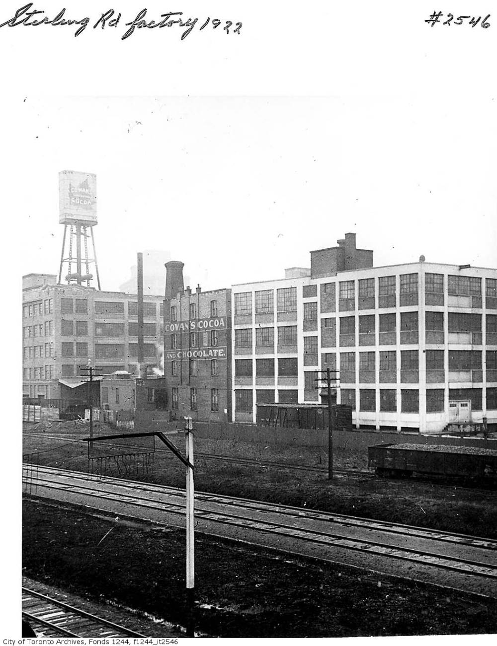
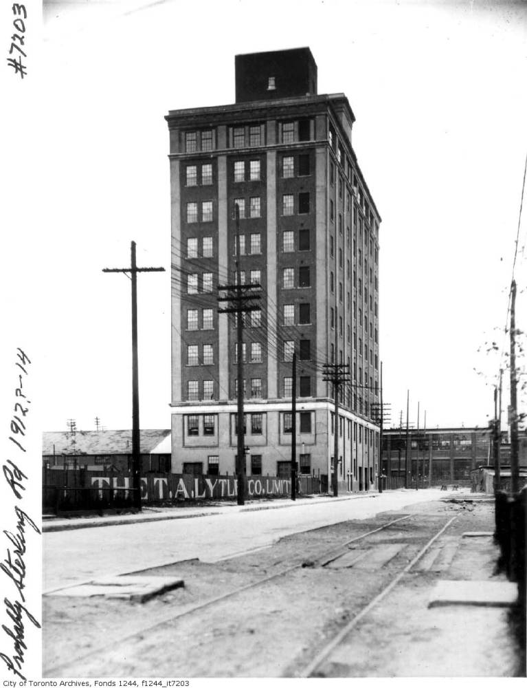
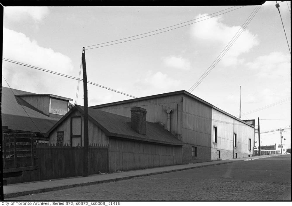
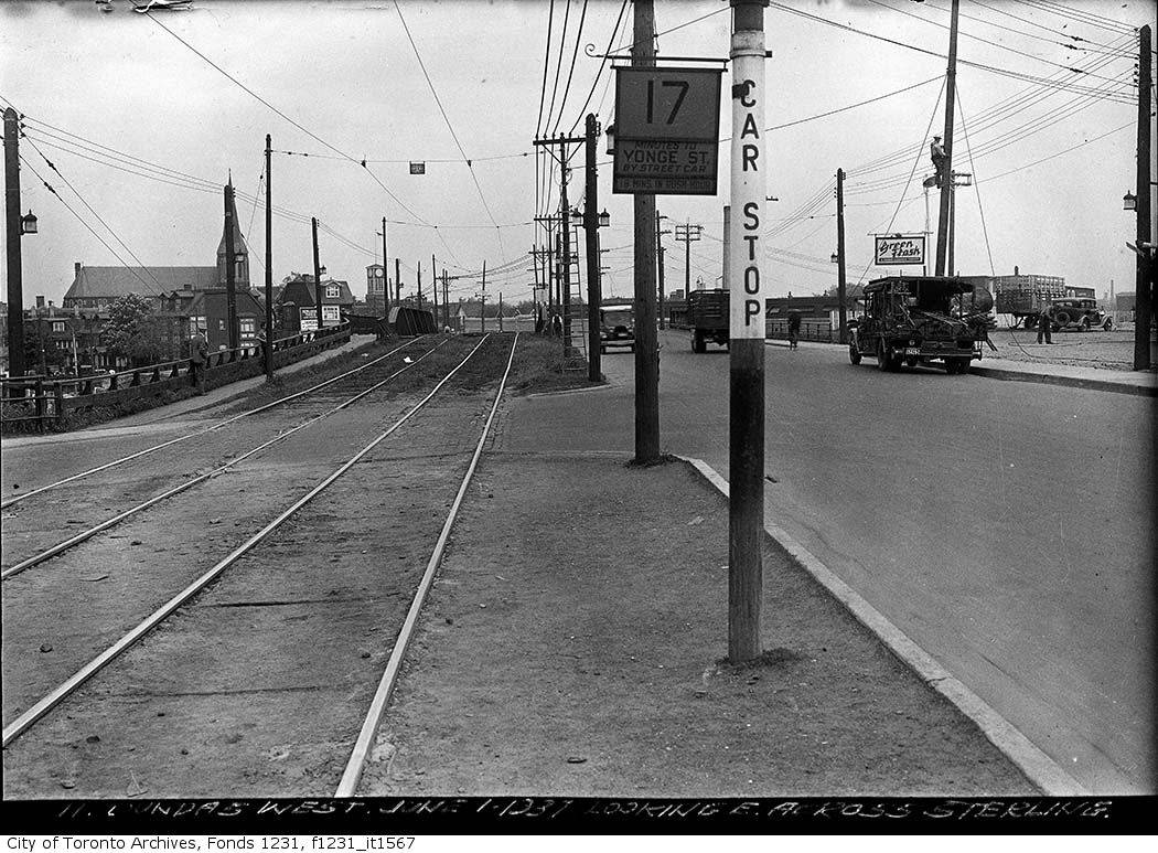
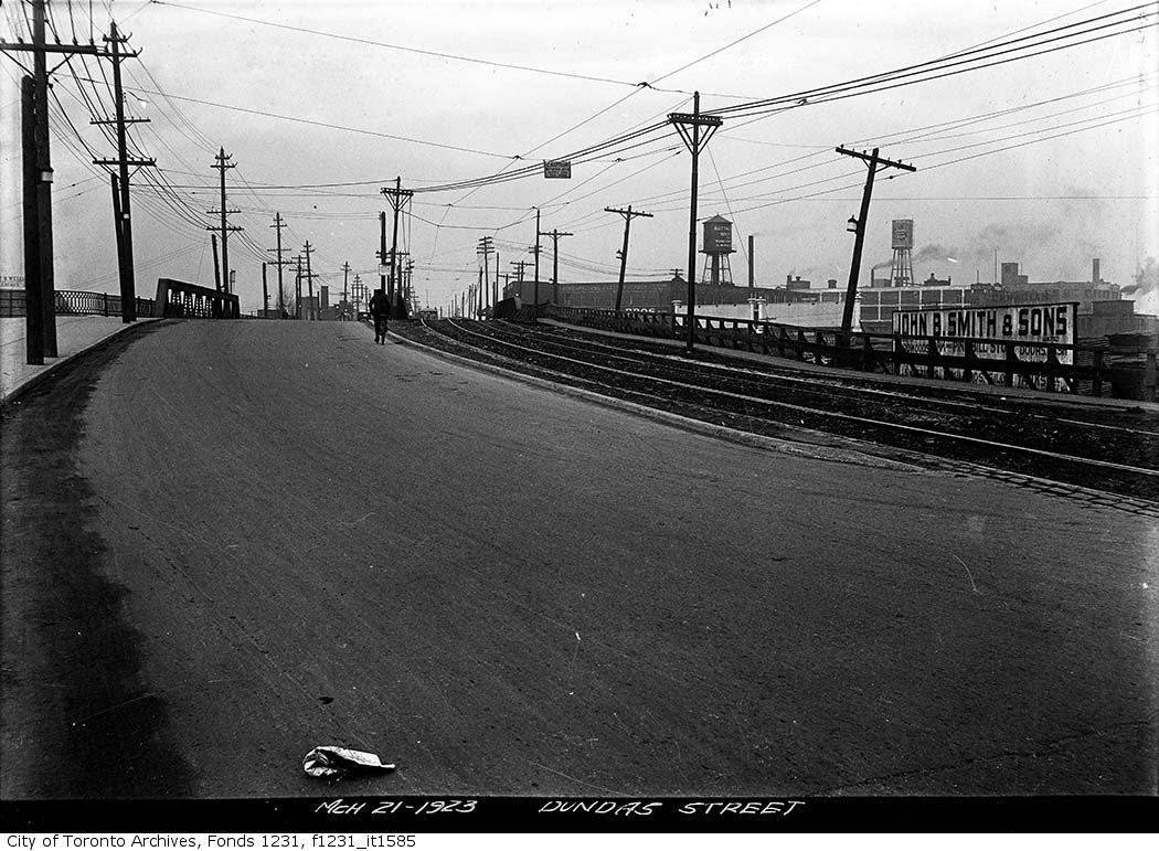
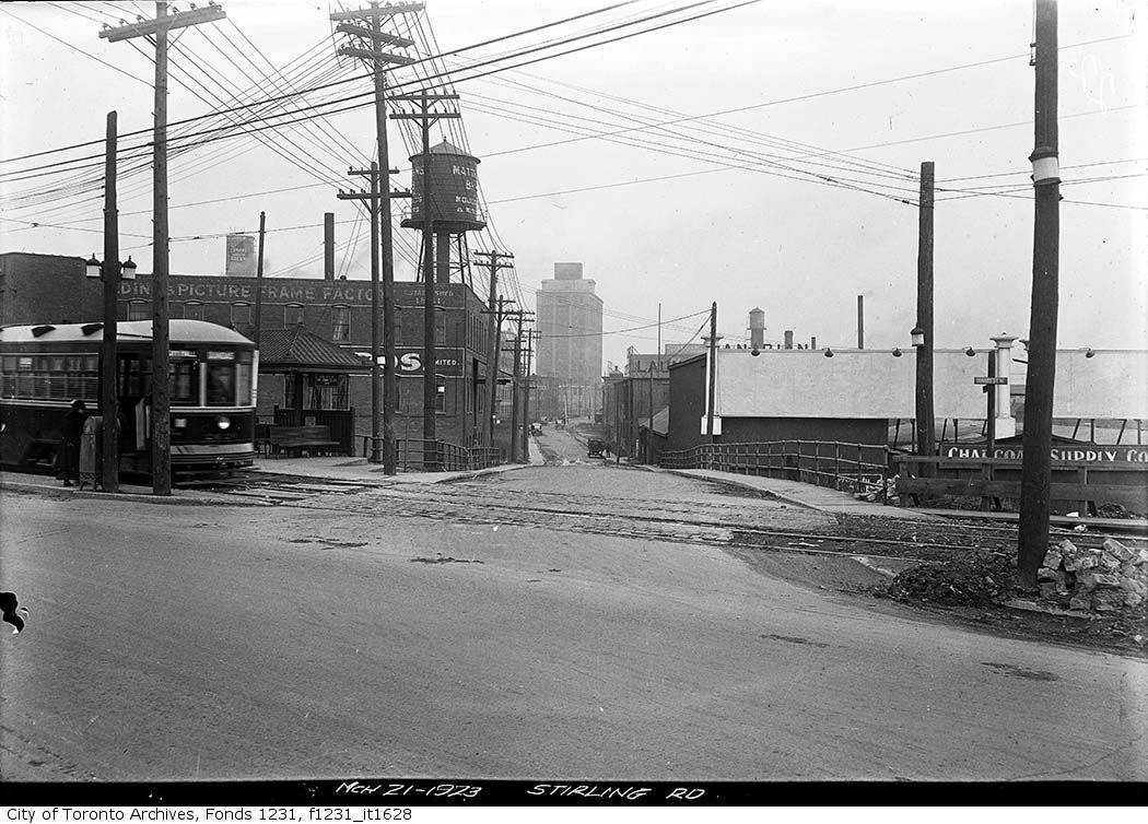
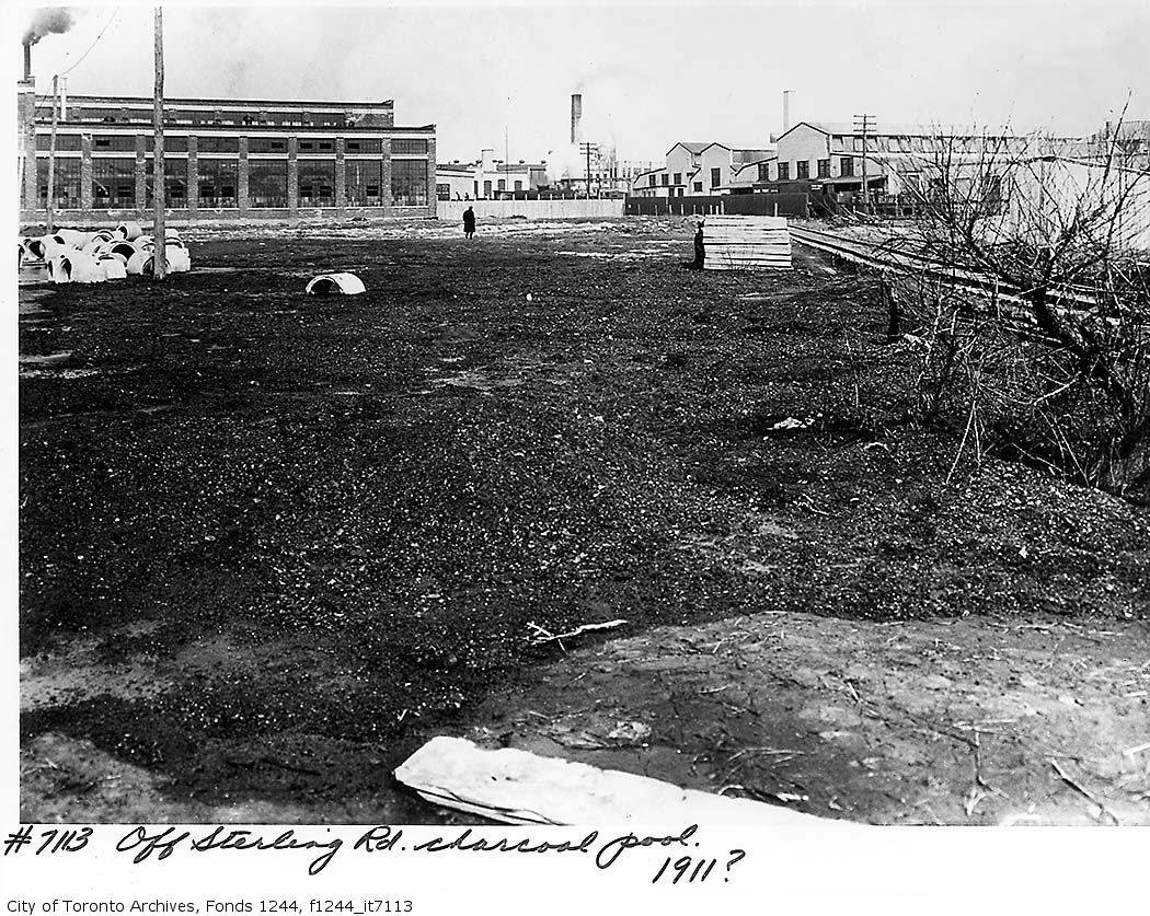
All the pictures on this page come from the City of Toronto archives. To find more historical pictures of the city, use the image search engine. While the number of images available online is large, they represent only a fraction of all the pictures in the archives. Click on the pictures to enlarge them. You can find more photo galleries here. To learn more about the history of the neighbourhood around Campbell Park, visit our local history pages.
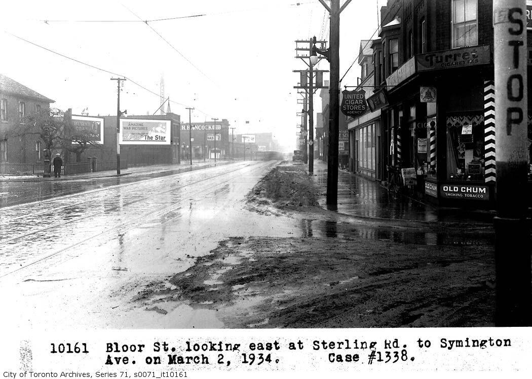 Bloor St, looking east, at Sterling Rd, to Symington Ave, case #1338, (Legal Department) March 2, 1934 (Source) |
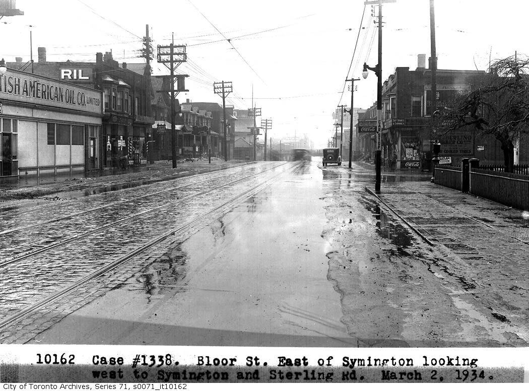 Case #1338, Bloor St, east of Symington, looking east to Symington and Sterling Rd, (Legal Department) March 2, 1934 (Source) |
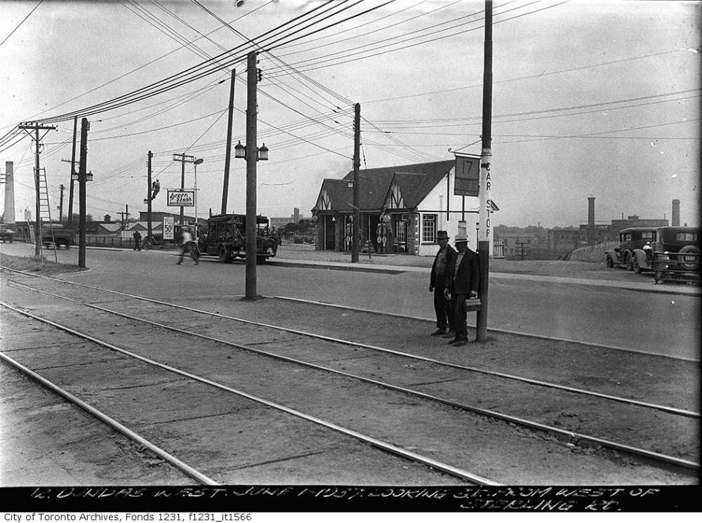
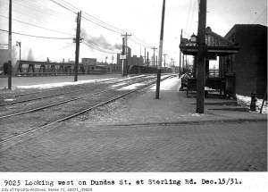
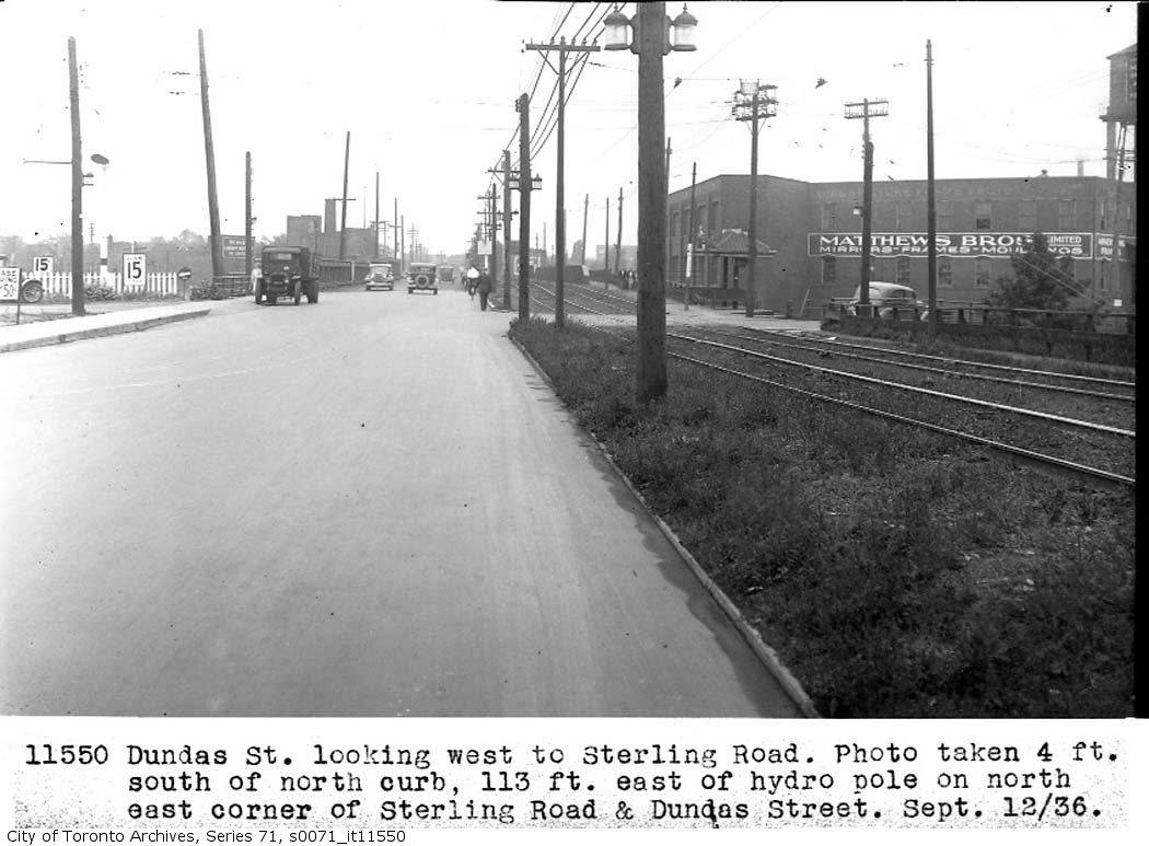 Dundas St, looking west, to Sterling Road; photo taken 4 feet south of north curb, 113 feet east of hydro pole on north-east corner of Sterling Road and Dundas Street, (Legal Department) 1936 (Source) |
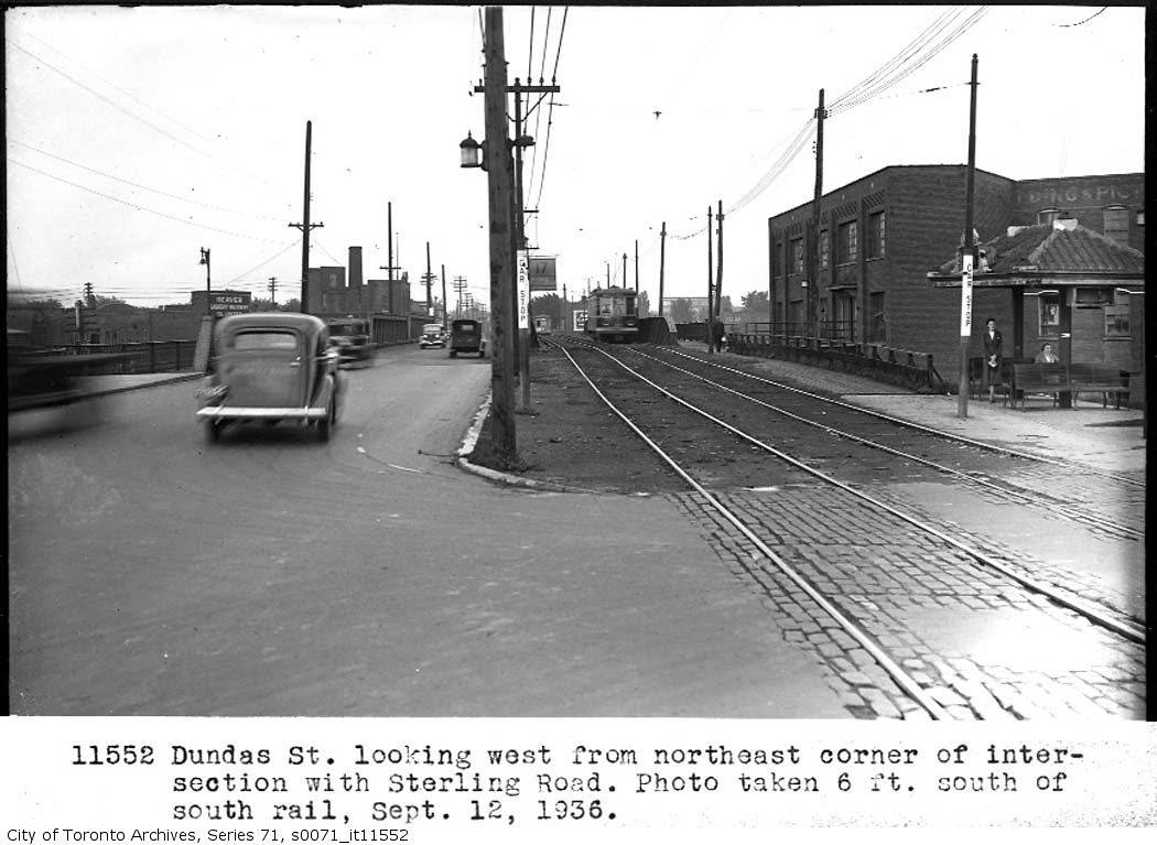 Dundas St, looking west, from north-east corner of intersection with Sterling Road; Photo taken 6 feet south of south rail, (Legal Department)1936 (Source) |
Content last modified on May 11, 2008, at 04:02 PM EST